Survey
Drone capture, ground truth, contour generation.
§ 02.4 · RID
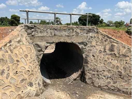
Design and supervision of rural and urban road rehabilitation, drainage improvement and associated civil infrastructure works, delivered under MoWT specifications and donor frameworks such as the EU-funded DINU programme.
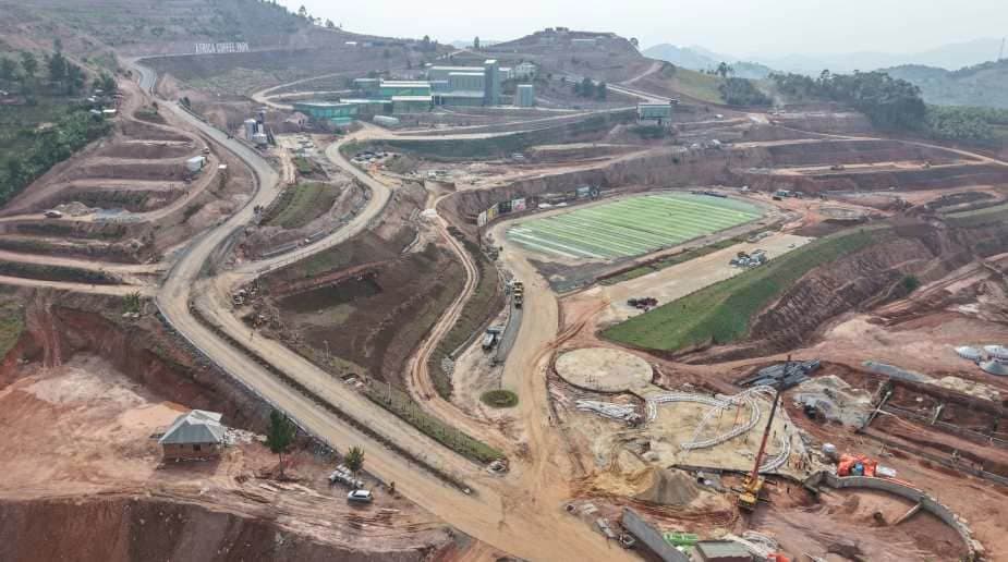
Drone capture, ground truth, contour generation.
Civil 3D / Revit alignment + structural sizing.
Drawing-set issue, contractor coordination.
FIDIC supervision through to handover.