Survey
Drone capture, ground truth, contour generation.
§ 02.6 · BIM
Integrated digital delivery from survey through to handover, organised under ISO 19650. The toolchain runs Civil 3D for corridors, InfraWorks for context, Revit and Tekla for structures, and QGIS for mapping and terrain analytics.
Drone capture, ground truth, contour generation.
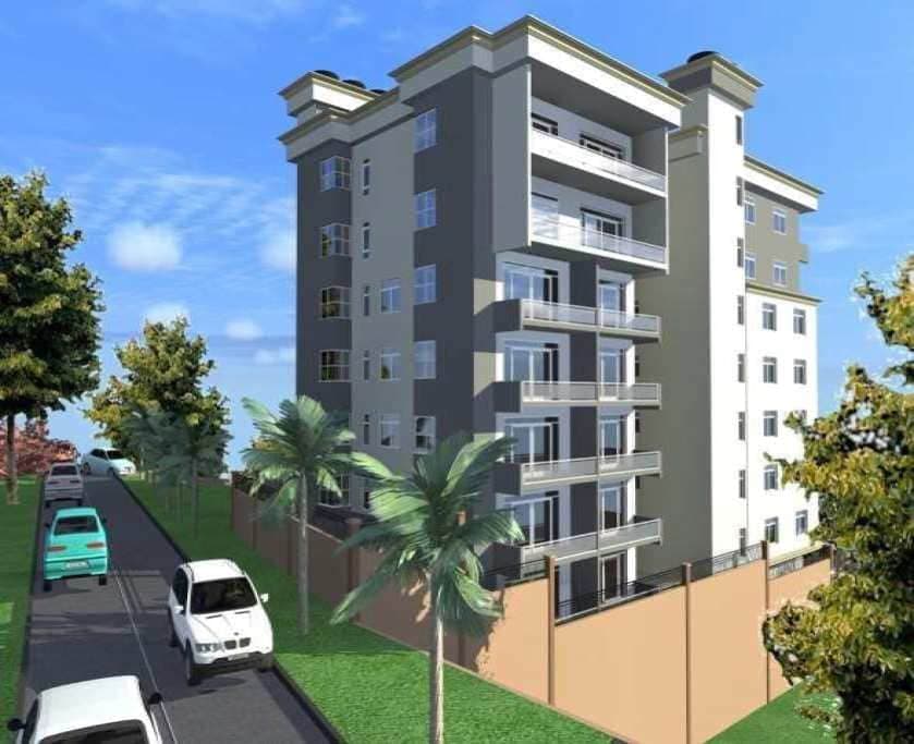
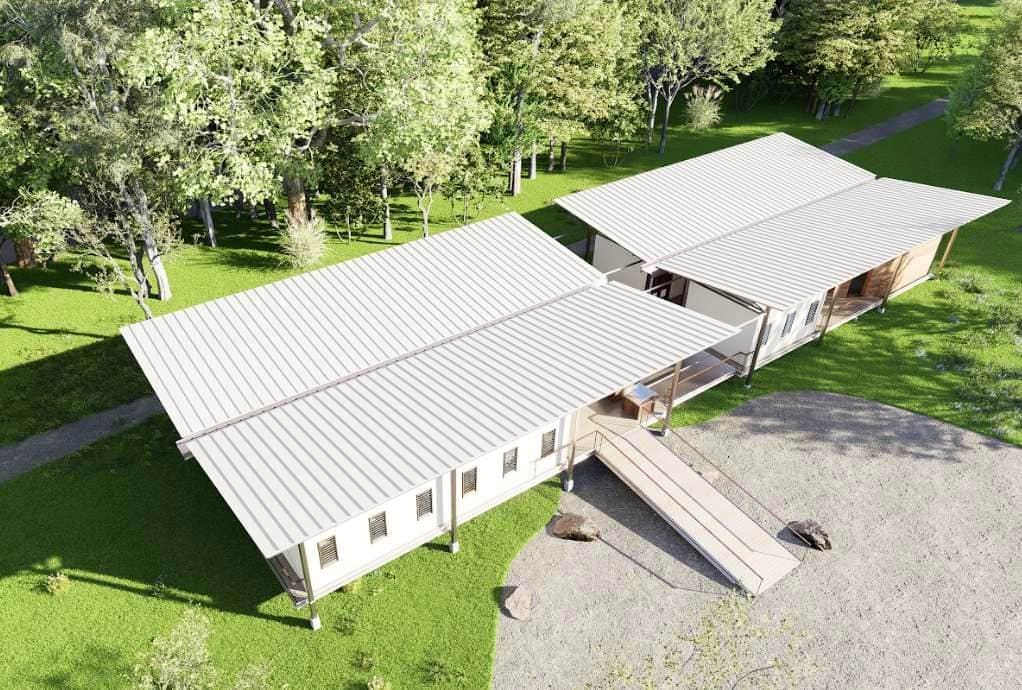
Civil 3D / Revit alignment + structural sizing.
Drawing-set issue, contractor coordination.
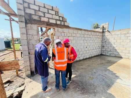
FIDIC supervision through to handover.